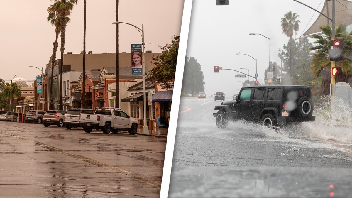
Imminent lashings of successive storms in one of the states located in the west of the United States.
According to official sources, two successive storms will affect California, in addition to an atmospheric river phenomenon that could cause flooding and landslides.
This city has been heavily punished by weather events of this type since the beginning of this month of February and have caused countless damages to roads, homes, and other infrastructure.
Los Angeles and other cities located in the southern part of the state were affected by landslides and road destruction caused by these phenomena in recent days. The current storms are expected to be long-lasting starting from Saturday and continuing well into next week.
However, specialists assess that the current two storms will not be as destructive as those experienced at the beginning of this February, although they do predict flooding due to the amount of rain that can fall and the slowness of one of the storms.
As part of the prevention efforts from northern California, to the south and in places in the city of Los Angeles, there are about 27 million people under surveillance for the possibility of flooding.
The National Weather Service has warned that the first of the two storms is weaker but will soak the ground causing when the second and more powerful one arrives to find the saturated ground causing the overflow of rivers and streams.
On its way to northern California, the rainfall from the first storm will be between 25 and 50 millimeters, classified by specialists as moderate rain, while on the central and southern California coast they will be light.
The second storm will begin its impact in California on Sunday afternoon extending until Wednesday of next week, potentially increasing the rainfall.
On Sunday itself, in the north of the state, between 25 to 76 millimeters of rain will be recorded in low areas, while in the higher sites it will be between 76 and up to 127 millimeters.
Likewise, the National Weather Service in San Francisco reports that in the vicinity of the Bay Area there is already enough moisture close to saturation so that when hit by rainfalls this would cause landslides.
On the other hand, winds are expected to be recorded from Sunday night until Monday, which will not be as strong and damaging as those at the beginning of this month but there will be gusts in the range of 56 to 80 kilometers per hour that can cause tree falls and damage to electricity.
The movement south of the most intense rains would be from Sunday night to Monday causing Santa Barbara to be at risk of flooding (between 3 out of 4 the expected level of flooding).
In the case of Los Angeles, the rains would begin to affect it on Monday afternoon, which could be strong with a level of 2 out of 4 for the risk of flooding, given mainly between Tuesday and the early hours of Wednesday.
Another forecast offered by the Weather Prediction Center refers to the amount of rain which would be between 0.5 to 1 inches (12 to 25 millimeters) per hour, with possible rates of more than 1 inch, that is 25 millimeters per hour.
In total, the precipitation could reach values of 50 to 101 millimeters on the coasts and 101 to 156 millimeters in the high areas between Sunday and the upcoming Wednesday.
There is another peculiar phenomenon because while the coasts would be soaked by the precipitation, the mountainous sites would have a large accumulation of snow.
As for the incidence of snow, the first storm (that of Saturday) will be weaker and accumulations of 101 to 254 millimeters of snow are expected for Sunday morning mainly in the highest parts of the Sierra Nevada and southern Cascade.
Another site where up to two feet of snow can be seen on Saturday night is Mount Shasta.
With the passage of the second storm, the snow levels will increase significantly, so that by Wednesday in the high areas of the Sierra Nevada there will be totals between 0.3 to 0.6 meters and on the highest peaks will be 1.21 meters of snow.
Climate specialists advise not to travel to the mountainous areas while the Warning is in effect as the roads could become impassable, there may be road closures, low visibility due to snow, among other inconveniences.
✅Para Recibir TODAS las Noticias GRATIS 👉Síguenos desde Aquí

